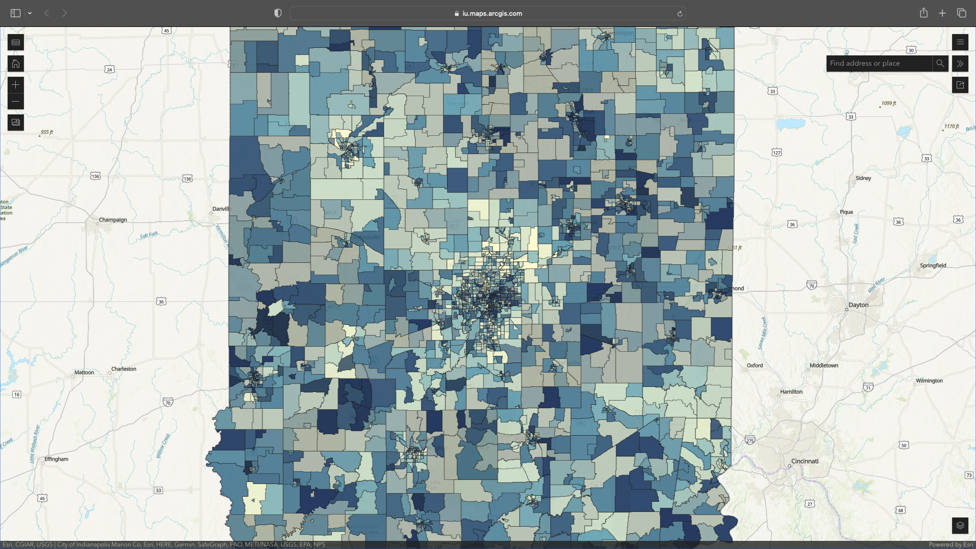
INviroScreen is a mapping tool of environmental justice (EJ) indicators for the state of Indiana. This map is a preliminary tool and should not be used for decision-making. INviroScreen was developed by O’Neill School graduate students as part of an Environmental Justice course taught by Dr. David Konisky during the Spring 2023 semester.
- INviroScreen helps identify Indiana communities potentially affected by cumulative impacts, including pollution and areas with increased health sensitivities.
- INviroScreen uses environmental, health, and socioeconomic data to produce EJ scores for each census tract in the state.
- The tool has various layers and allows a user to select/deselect and compare various socioeconomic, environmental, health, and climate indicators.
- INviroScreen uses a calculation, similar to that used in CalEnviroScreen, to rank census tract environmental and pollution burdens based on publicly available data from state and federal government sources.
- INviroScreen was last updated in May 2023.
The map displays the distribution of environmental burdens and benefits across the state and identifies areas where marginalized communities face disproportionate exposure to pollution, hazardous waste sites, and other environmental hazards.
By visualizing these disparities, policymakers and advocates can prioritize equitable policies, such as stricter pollution regulations, enforcement measures, financial and technical assistance, and increased community engagement, to address the environmental injustices faced by vulnerable populations in Indiana.


